Thinking about a river home in Gallatin Gateway? The Gallatin River is a rare mix of scenery and year‑round recreation, but stream access rules, permits, and floodplain details can catch buyers and owners off guard. You want to enjoy the water and protect your investment without missteps. This guide gives you the essentials on access, permits, flood risk, and first steps specific to Gallatin Gateway. Let’s dive in.
Stream access in Montana
What the public can do
Under Montana’s Stream Access Law, the public may use rivers and streams for recreation up to the ordinary high‑water mark. This includes wading and floating for water‑related activities. For a clear overview and examples, review the state’s guidance on Stream Access in Montana.
Where your property rights begin
As a landowner, your private property rights begin above the ordinary high‑water mark. You can post your land and limit people from crossing your uplands to reach the water. Public users must avoid trespassing on posted property and stay within the ordinary high‑water zone as they travel along the river. You can confirm posting rules in the state’s stream access guidance.
Getting to the water
The Stream Access Law does not allow the public to cross private land to reach the river. People should use public access points, such as Fishing Access Sites, or obtain permission. Bridge right‑of‑way access is recognized in Montana guidance and case law, which is also outlined in the Stream Access in Montana materials.
Water rights and withdrawals
Montana follows prior appropriation. Owning river frontage does not automatically grant water withdrawal rights. Many new or expanded surface water or groundwater uses require approval from the Department of Natural Resources and Conservation (DNRC). If you plan to install a pump, fill a pond, or add irrigation, start with DNRC’s Water Rights page to understand permits and exemptions.
Permits for riverbank work
Start with the 310 permit
Any project that physically alters the bed or banks of a perennial stream typically requires a 310 Permit through the Gallatin Conservation District. This includes grading, riprap, channel work, and similar activities. Begin with the local 310 resources and joint application via the Gallatin Conservation District.
Other permits you may need
Depending on scope and location, you may also need state and federal reviews. The DNRC outlines key pathways, including SPA 124 reviews, DEQ water quality authorizations, and U.S. Army Corps Section 404 approvals, within its stream permitting overview. If work is in the mapped floodplain, Gallatin County floodplain permits apply; see the county’s floodplain resources for maps and contacts.
Emergency actions
If you must act to protect life or property, emergency procedures exist for 310 permitting. You still need to notify the conservation district promptly and follow required documentation. DNRC’s stream permitting overview explains how emergency actions are handled.
Floodplains and risk in Gallatin Gateway
Gallatin County uses FEMA Flood Insurance Rate Maps to administer floodplain regulations. The county’s effective maps were updated in April 2021, and many riverfront parcels have development limits within the regulatory floodplain. Check your property on the county floodplain page and with FEMA’s mapping tools at the Gallatin County Floodplains page and the FEMA Map Service Center.
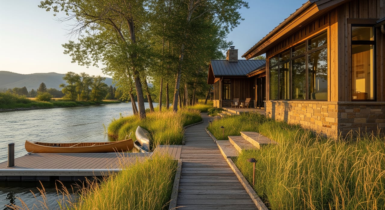
Recreation and local context
Gallatin Gateway sits along a prized trout river used for wading, fishing, and some floating. To explore the river’s character near Gateway and beyond, see this overview of the Gallatin River. Recreation rules vary by river section. Before you fish or float, confirm current regulations and any seasonal restrictions using the state’s fishing regulations.
Septic, setbacks, and stewardship
Septic systems near surface water must meet state and local setbacks. Montana’s rules include common minimum distances, such as 50 feet to sealed components and 100 feet to absorption areas for many waters, as outlined in ARM 17.36.918. Routine inspection and pumping help protect the Gallatin’s water quality.
When stabilizing banks, agencies often encourage bioengineering and native vegetation over hard armoring whenever feasible. Local partners are active on bank stabilization and access improvements along the corridor. For examples of access and riparian restoration in the valley, review the Gallatin River Task Force’s access restoration project.
First steps checklist
- Confirm where the ordinary high‑water mark lies on your parcel and review Montana’s stream access guidance.
- Check your property’s flood zone with the county’s floodplain resources and the FEMA Map Service Center.
- Before any bank or in‑stream work, contact the Gallatin Conservation District about a 310 Permit.
- If you plan to divert water or add irrigation, consult DNRC’s Water Rights.
- Verify septic records, maintenance, and setbacks using ARM 17.36.918.
Whether you are buying, selling, or already own on the Gallatin, a clear plan for access, permits, and flood risk will protect your enjoyment and your equity. If you want a local advisor to help you align property goals with the river’s rules and opportunities, connect with Ryan Martello Real Estate.
FAQs
Can people walk along my riverbank in Gallatin Gateway?
- The public may recreate up to the ordinary high‑water mark, but your private property rights begin above that line. For boundaries and posting rules, see Montana’s Stream Access in Montana.
Do I need a 310 Permit for small bank work?
- If work physically alters the bed or immediate banks of the river, a 310 Permit is generally required. Start with the Gallatin Conservation District and the DNRC’s stream permitting overview.
How do I check flood risk for a specific parcel?
- Look up your property on the county’s floodplain page and verify with the FEMA Map Service Center. Contact county floodplain staff with questions about permits.
Can I pump water from the Gallatin for irrigation?
- Water withdrawals often require DNRC approval under prior appropriation. Review permits and exemptions on DNRC’s Water Rights page before installing any pump or pond.
Where should I launch or access the river near Gateway?
- Use public Fishing Access Sites or other designated points, and follow current regulations. For river context and trip planning, see the Gallatin River overview and consult FWP’s fishing regulations.